
Trisuli Disaster Exposes Lethal Gaps in Mountain Early Warning Systems
A month after a high-altitude slope collapse triggered the deadly Bhote Kosi-Trisuli flood, experts warn that early warning systems failed to anticipate cascading mountain hazards.
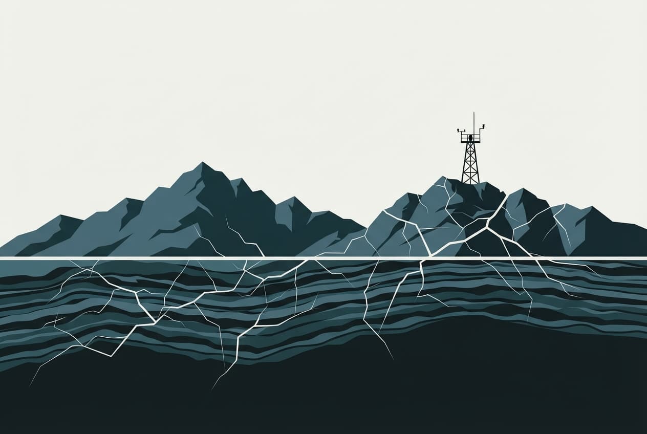
One month after a catastrophic mountain collapse unleashed a deadly slurry down the Bhote Kosi and Trisuli river basins, the disaster has exposed critical shortcomings in national early warning protocols and climate adaptation frameworks. The 26 August catastrophe left more than 8,000 people dead or missing across Nepal and China, while sweeping away 13 hydropower facilities across six districts.
According to reporting by Nepali Times, the disaster originated at 08:37 when roughly two square kilometres of rock face and glacial ice gave way below Tsangbu Ri in the Langtang Lirung massif. The mass dropped roughly 1,400 metres from an elevation of 5,150 metres, with frictional heat rapidly liquefying the snow and ice into a debris surge. BBC News Nepali cited Sanjiv Baral, executive director of the Centre for Hydrometeorology and Water Resources Research, who explained that the sheer density of the initial collapse propelled the surge to a peak speed of 188 kilometres per hour.
The slurry took merely seven minutes to reach Rasuwagadhi, 22 kilometres downstream, destroying border facilities before monitoring instruments could react. Nepali Times reported that the river gauge at Syaprubesi stopped transmitting at 08:50. While the Department of Hydrology and Meteorology confirmed the flood wave and broadcast alerts by 09:15—providing crucial downstream lead time before the crest passed Galchi at 10:28 and Devghat at 15:20—authorities lacked standard operating procedures to enforce mandatory evacuations.
Downstream survivals often hinged on chance and informal warnings. In Nuwakot, a school principal scrambled 900 students to safety just ten minutes before floodwaters hit, relying entirely on a phone tip from an upstream resident rather than an official civic evacuation protocol. A rapid assessment by World Weather Attribution concluded that while existing river monitors saved lives downstream, early warning systems remained blind to the initial slope failure itself.
Analysts writing in Nepali Times, including water specialist Ajaya Dixit and climate researcher Monirul Mirza, pointed out that Nepal's 2021 National Adaptation Plan focused nearly all high-altitude mitigation on glacial lake outburst floods (GLOFs), failing to account for slope destabilisation triggered by thawing permafrost and cryospheric degradation.
Addressing the United Nations General Assembly in New York, Prime Minister Balendra Shah described the disaster as a consequence of climate change and a global responsibility. Government post-disaster assessments place total recovery needs at approximately 12 percent of the previous year's gross domestic product, with more than half of the losses concentrated in destroyed, uninsured public hydropower infrastructure. Meanwhile, Nepali Times reported that over 30,000 displaced residents remain in temporary shelters across Rasuwa, Nuwakot, and Dhading, with only 110 of 1,450 recovered bodies identified so far.